
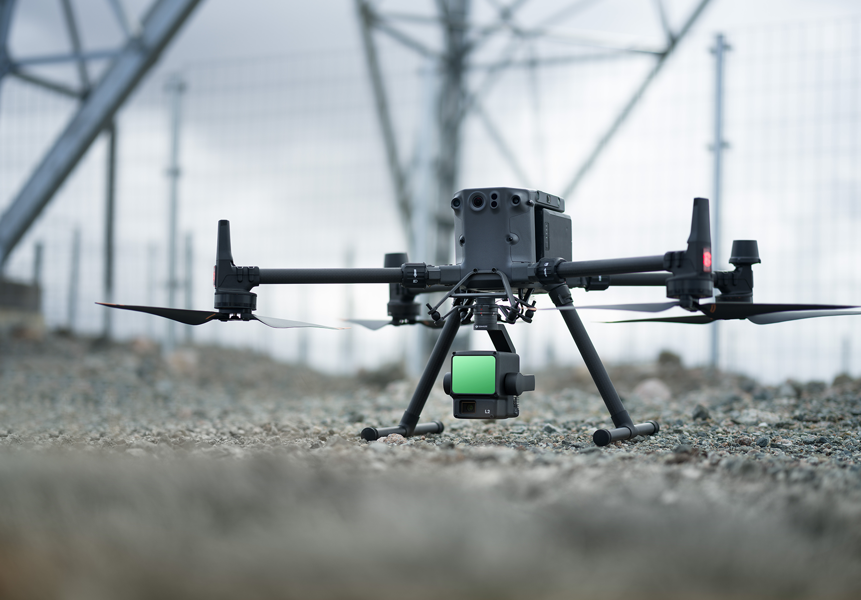
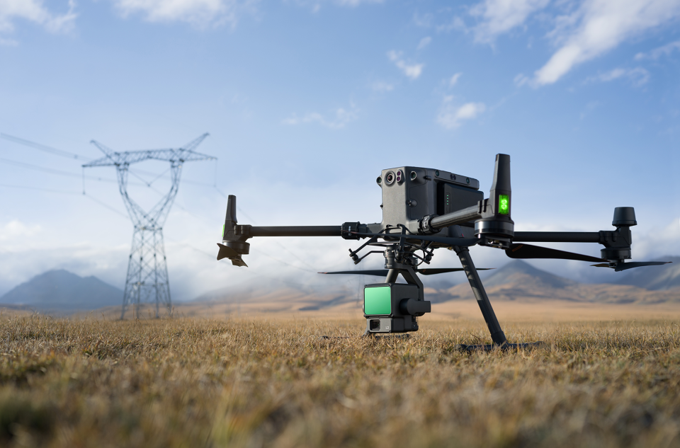
Zenmuse L2 integrates frame LiDAR, a self-developed high-accuracy IMU system, and a 4/3 CMOS RGB mapping camera, providing DJI flight platforms with more precise, efficient, and reliable geospatial data acquisition. When used with DJI Terra, it delivers a turnkey solution for 3D data collection and high-accuracy post-processing.
High Precision
Exceptional Efficiency
2.5 km2 covered in a single flight
Superior Penetration
Smaller laser spots, denser point clouds
Detection Range
Turnkey Solution
Point Cloud LiveView
One-Click Processing on DJI Terra
No Videos uploaded for this product.


