
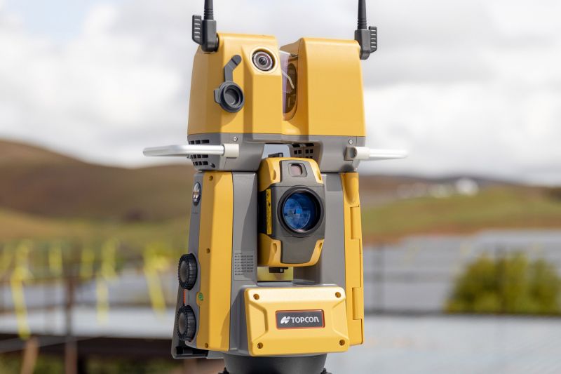
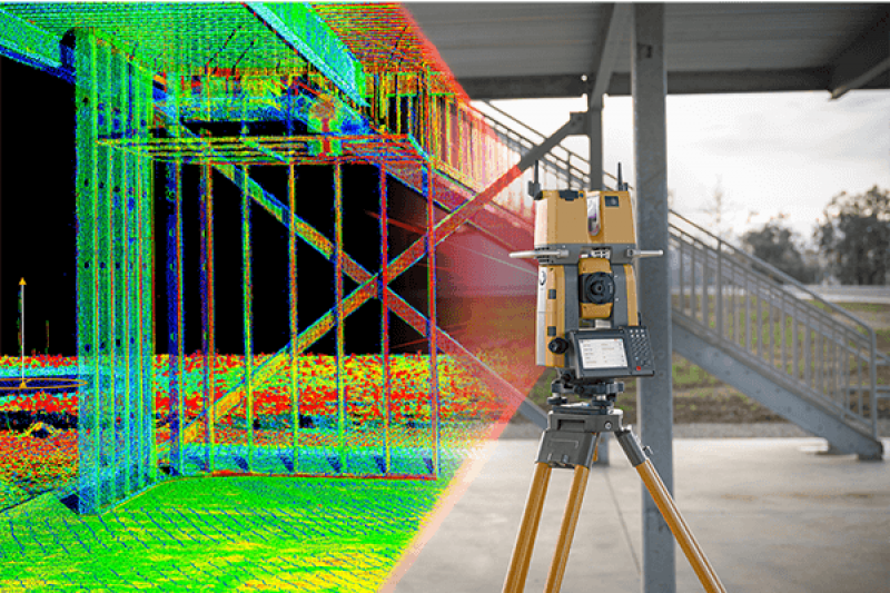
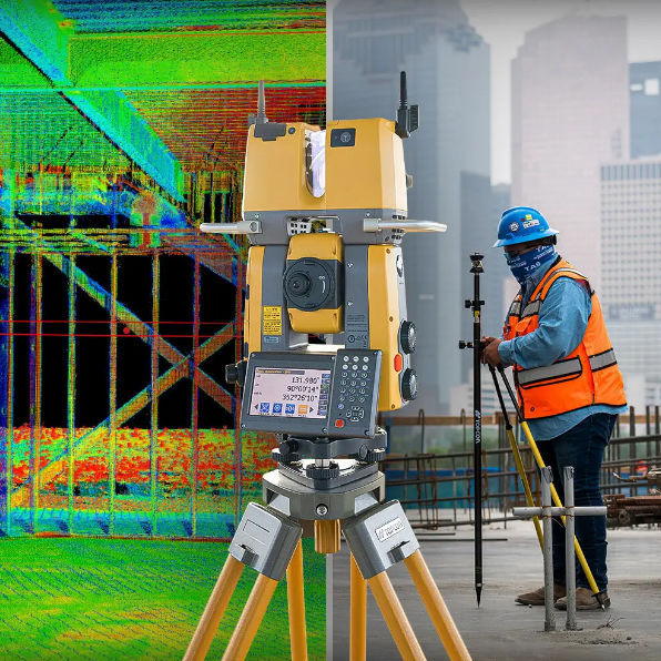
The GTL adds the power of laser scanning to a robotic total station so you can capture the as-built data with the same instrument you use for layout. Combine the GTL with Verity’s automated QA/QC workflow to compare the as-built data against the BIM design model and quickly spot variances—so you can check all your work every day and catch errors faster.
1.Quick layout and scanning with a single instrument
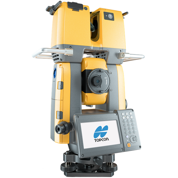
2.Wi-Fi enables point clouds to be transmitted wirelessly
3.Proven robotic total station design, integrated with a scanner
4.Full dome scan in seconds, now with 2x point cloud resolution
5.Scan density tailored to minimize software processing time
6.Point clouds accurately matched to BIM model coordinates
No Videos uploaded for this product.


