

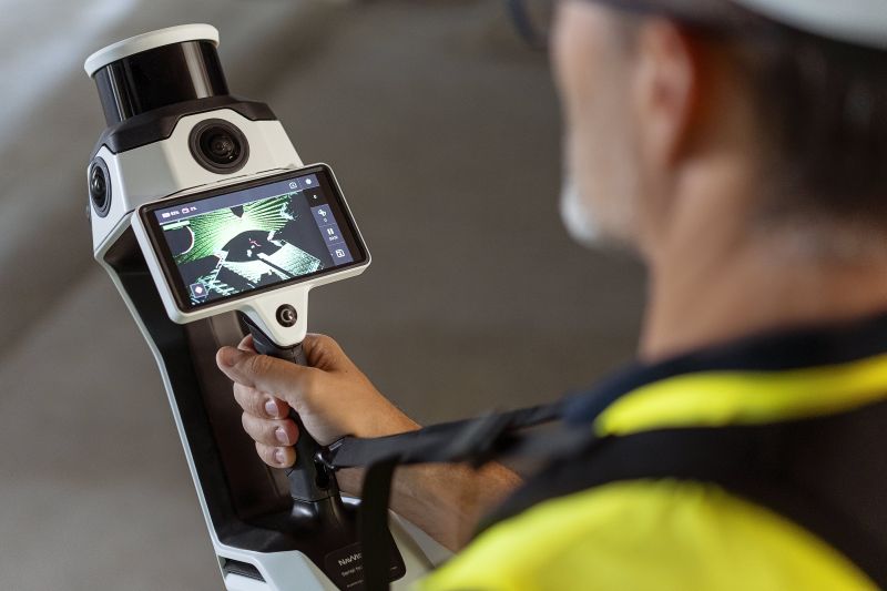

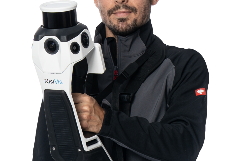
NavVis MLX is a user-friendly, handheld dynamic scanning system that enhances AEC and surveying workflows. As a compact device, ideal for confined, smaller spaces or shorter, more frequent scanning on site, it is a professional solution that delivers the accuracy and data quality you and your clients require.
1. 32 layer LiDAR sensor in combination with industry trusted SLAM software augmented by Visual Odometry (VO).
2. Live Scanning Feedback in real time with a built-in touchscreen interface.
3. One-of-a-kind compact handheld device with an additional support harness for added comfort and optimal functionality.
4. Fully compatible with standard tools in the field and can capture control points measured by total stations and GNSS receivers.
No Videos uploaded for this product.


