


Visionary Intelligence. Elevated Accuracy.
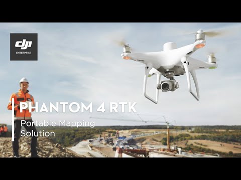
Upgrade your next mapping mission with the Phantom 4 RTK – the most compact and accurate low altitude mapping solution.
DJI has rethought its drone technology from the ground-up, revolutionizing its systems to achieve a new standard for drone accuracy – offering Phantom 4 RTK customers centimeter-accurate data while requiring fewer ground control points.
RTK Module
1” CMOS Sensor
TimeSync
GS RTK App
OcuSync
D-RTK 2
Mobile Station
 Phantom 4 RTK


